


Meteorological Support Solutions for Wind Energy


Background & Requirements
Wind energy is a renewable and clean energy source. Wind turbines convert wind energy into electrical energy, with higher output power leading to greater power generation. The measurement of wind turbine power curves and power coefficients relies on incoming wind speed and wind direction data, whose accuracy directly determines the precision of tested power curves and power coefficients. In wind energy resource development and application, accurate measurement of meteorological parameters including horizontal wind speed, wind direction, turbulence intensity and wind shear index within wind farms is essential for wind resource assessment and scientific wind farm planning.
The short-range vertical profile wind lidar covers a measurement height range of 15–500 m and typically supports observation at no less than 20 altitude layers. Featuring high precision, high spatiotemporal resolution and flexible deployment, the lidar serves as an ideal technical solution for key wind power scenarios, including wind turbine power characteristic testing, wind power forecasting, unit operation control and management, and wind resource evaluation.
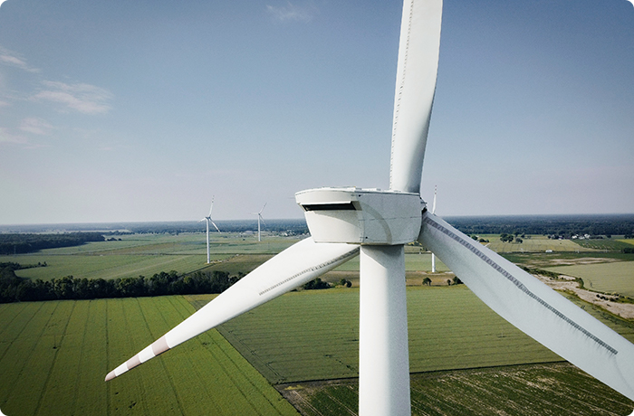
Wind Resource Assessment
In the macro site selection stage of wind farms, short-term wind measurement based on coherent Doppler wind lidar enables rapid investment evaluation of wind power projects. It effectively reduces time costs and project risks in a cost-efficient manner. In the micro siting stage, short-term lidar wind measurement combined with wind tower data can more accurately simulate the overall wind resource distribution of the wind farm. In particular, supplementary wind resource detection at turbine positions avoids single-unit investment risks, supports accurate power generation benefit calculation, and ensures the operational safety of wind turbines.

Optimized Onshore Wind Turbine Site Selection

Optimized Offshore Wind Turbine Site Selection
Power Curve Verification Test
The revised wind turbine power curve verification standard IEC 61400-12 issued in 2017 includes coherent Doppler wind lidar in the list of equipment available for power curve testing. Benefiting from flexible deployment and other advantages, wind lidar greatly simplifies the engineering implementation of power curve tests and has successfully replaced wind measurement towers in numerous practical projects. The coherent Doppler wind lidar calibrates the nacelle anemometers of wind turbines inside wind farms and determines test sectors in accordance with the sector calculation method specified by IEC. The measured wind speed is converted to standard air density to rapidly complete wind speed calibration for all wind turbines across the wind farm, conduct assessment and evaluation of power curves and operational performance, and provide corresponding optimization schemes.

Wind Power Forecasting
Wind power forecasting is one of the key technologies requiring in-depth research for the large-scale grid integration and application of wind power. Supported by high-precision meteorological observation data from coherent Doppler wind lidar, combined with physical simulation calculations and scientific statistical methods, short-term forecasting of wind conditions in wind farms can be realized to complete wind power prediction and meet the demands of power dispatching departments.

Solution Advantages

Cost Reduction and Efficiency Improvement
Replacing traditional wind measurement towers, it greatly reduces construction and maintenance costs while satisfying data demands for three-dimensional regional wind field measurement and precise power generation prediction of wind farms.

Facilitate Safe and Stable Grid Operation
Coherent Doppler wind lidar boasts strong robustness. It can alleviate the impact of volatility, intermittency and randomness of wind power generation on power grid systems, facilitating safe and stable operation of power systems.
Measurement Case Studies

She County Wind Farm, Handan, Hebei
Short-range vertical profile wind lidars are deployed at She County Wind Farm in Handan, Hebei. Powered by self-generated photovoltaic electricity, they provide high-precision all-weather three-dimensional wind data to support wind power forecasting for wind turbines.

She County Wind Farm, Handan, Hebei
Short-range vertical profile wind lidars are deployed at She County Wind Farm in Handan, Hebei. Powered by self-generated photovoltaic electricity, they provide high-precision all-weather three-dimensional wind data to support wind power forecasting for wind turbines.